Under AS 4678 and AS 1726, slope stability analysis is a regulatory requirement for any excavation, fill embankment, or canal-edge development in Hervey Bay. The city's geology — a mix of Quaternary coastal sands, estuarine clays, and residual soils derived from the Maryborough Basin — creates conditions where small changes in groundwater can trigger deep-seated rotational failures. Our team routinely applies the Bishop simplified method and Morgenstern-Price analysis to assess factors of safety for both short-term undrained and long-term drained conditions. When the soil profile includes soft marine clays or loose sands near the foreshore, we integrate piezocone dissipation tests to model pore-pressure dissipation rates more accurately.
A slope that appears stable under dry conditions can lose 40 percent of its factor of safety within 24 hours of sustained rainfall in Hervey Bay's sandy coastal soils.
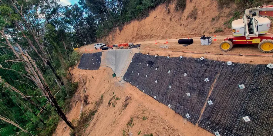
Service characteristics in Hervey Bay
Demonstration video
Critical ground factors in Hervey Bay
We typically deploy a track-mounted Diedrich D-120 drill rig with an automatic SPT hammer system for access along Hervey Bay's narrow canal reserves and sloping lots. The rig can reach 15 m depth through the coastal sands while maintaining a small footprint — critical when working between existing houses and waterway easements. Another key piece is the in-situ vane shear apparatus, used to measure undrained shear strength directly in the soft clay layers that often underlie the Point Vernon and Pialba escarpments. Without these site-specific tools, reliance on published correlations alone can lead to a 30 percent overestimate of available shear strength.
Our services
Our Hervey Bay slope stability service covers the full scope from desktop study through limit-equilibrium and finite-element modelling to monitoring recommendations.
Limit-Equilibrium Analysis (LEM)
Bishop simplified, Morgenstern-Price, and Spencer methods for circular and non-circular slip surfaces. We model multiple groundwater scenarios including perched water tables typical of the Maryborough Basin coastal sands.
Finite-Element / Finite-Difference Modelling
Phase2 and FLAC analyses for stress-strain behaviour, deformation profiles, and progressive failure assessment. Particularly useful for canal-edge embankments and steep escarpments in the Point Vernon area.
Seepage & Pore-Pressure Modelling
Transient seepage analysis using SEEP/W to simulate rainfall infiltration effects on slope stability. We calibrate models against in-situ piezometer data collected over at least one wet season in Hervey Bay.
Frequently asked questions
What factor of safety is required for slope stability in Hervey Bay under AS 4678?
AS 4678-2002 requires a minimum factor of safety of 1.5 for long-term drained conditions and 1.3 for short-term undrained conditions. For permanent works adjacent to canals or roads we typically target 1.5 on the drained case and check the undrained case with residual strength parameters.
How much does a slope stability analysis cost for a residential subdivision in Hervey Bay?
A standard slope stability study for a single lot or small subdivision in Hervey Bay typically ranges between AU$1.900 and AU$6.680 depending on site complexity, number of cross-sections, and whether seepage modelling is required. Contact us for a project-specific quote.
What soil conditions in Hervey Bay most commonly cause slope instability?
The most problematic conditions are the soft estuarine clays underlying the canal estates and the loose to medium-dense dune sands that become saturated after heavy rain. Perched water tables develop rapidly in the sandy overburden above the claystone, reducing effective stress and triggering shallow planar slides.
Do you include instrumentation and monitoring in the slope stability study?
Yes, we recommend and install standpipe piezometers and inclinometers for critical slopes such as the Point Vernon escarpment or canal edges. Monitoring data collected over at least one wet season allows us to calibrate the seepage model and verify the factor of safety under actual groundwater conditions.